Drone Photography - Commercial Real Estate
Facing the challenge of making your commercial real estate listings stand out in a crowded market? Understanding this dilemma offers a game-changing solution when using advanced drone photography and videography. Expertise in capturing stunning aerial visuals elevates property presentations, providing an unparalleled edge in the competitive real estate landscape.
How do you engage potential buyers and convey the full potential of your properties? This is done by transforming standard property listings into engaging visual stories. Impactful aerial videography creates immersive experiences that allow potential buyers to explore properties in a dynamic way, far surpassing the impact of traditional ground-level photography. This innovative approach not only heightens the appeal of the properties but also streamlines the sales process, facilitating quicker decision-making.
Are comprehensive assessments and detailed documentation of your commercial properties a concern? High-resolution aerial videos and photos provide invaluable insights for property evaluations, especially for extensive commercial spaces. This service simplifies the process of property management and maintenance, ensuring that every crucial detail is captured efficiently and effectively. Tailored drone solutions address the core needs of commercial real estate professionals, turning potential challenges into opportunities for success.

Call (513) 543-1808
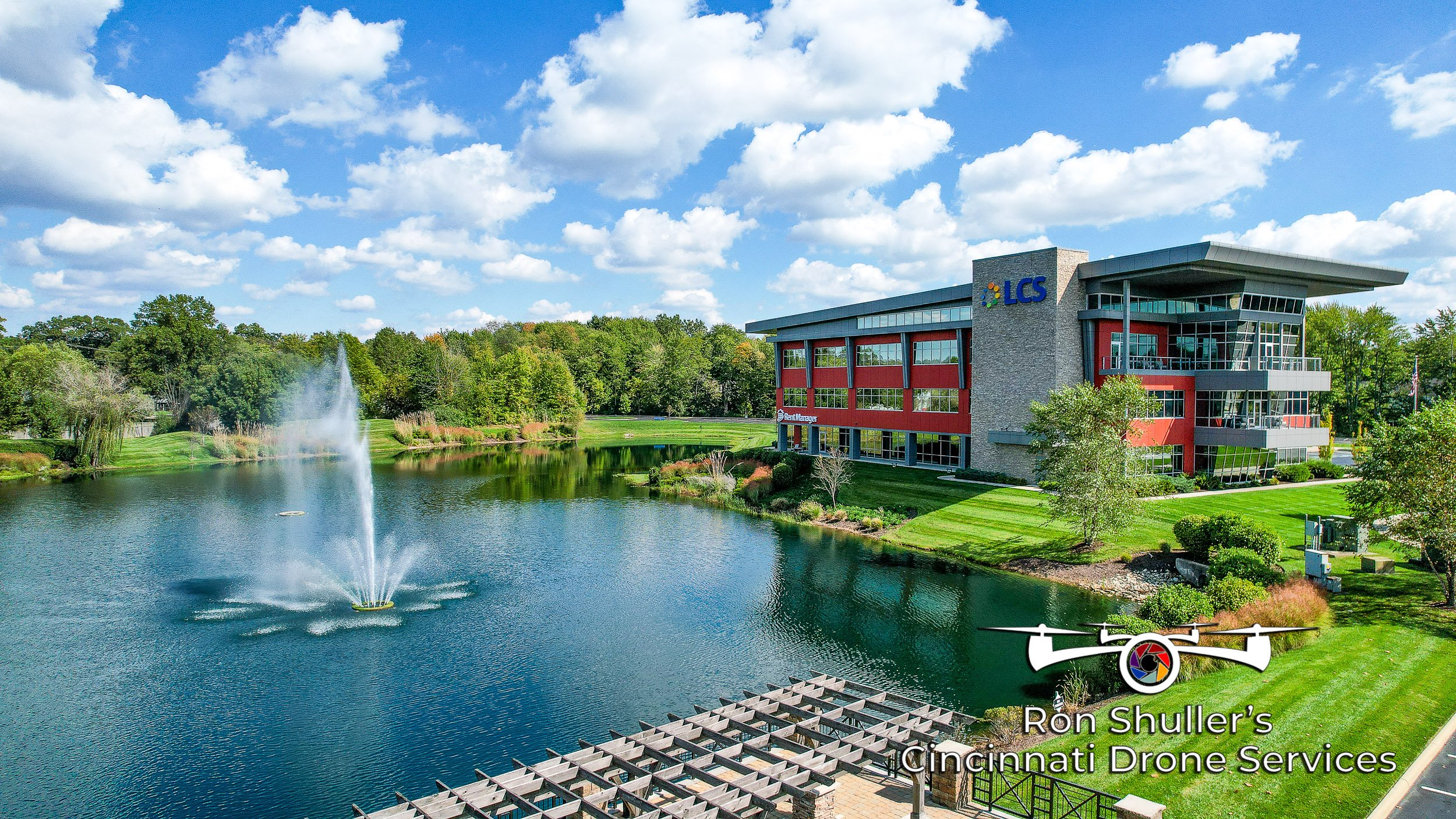
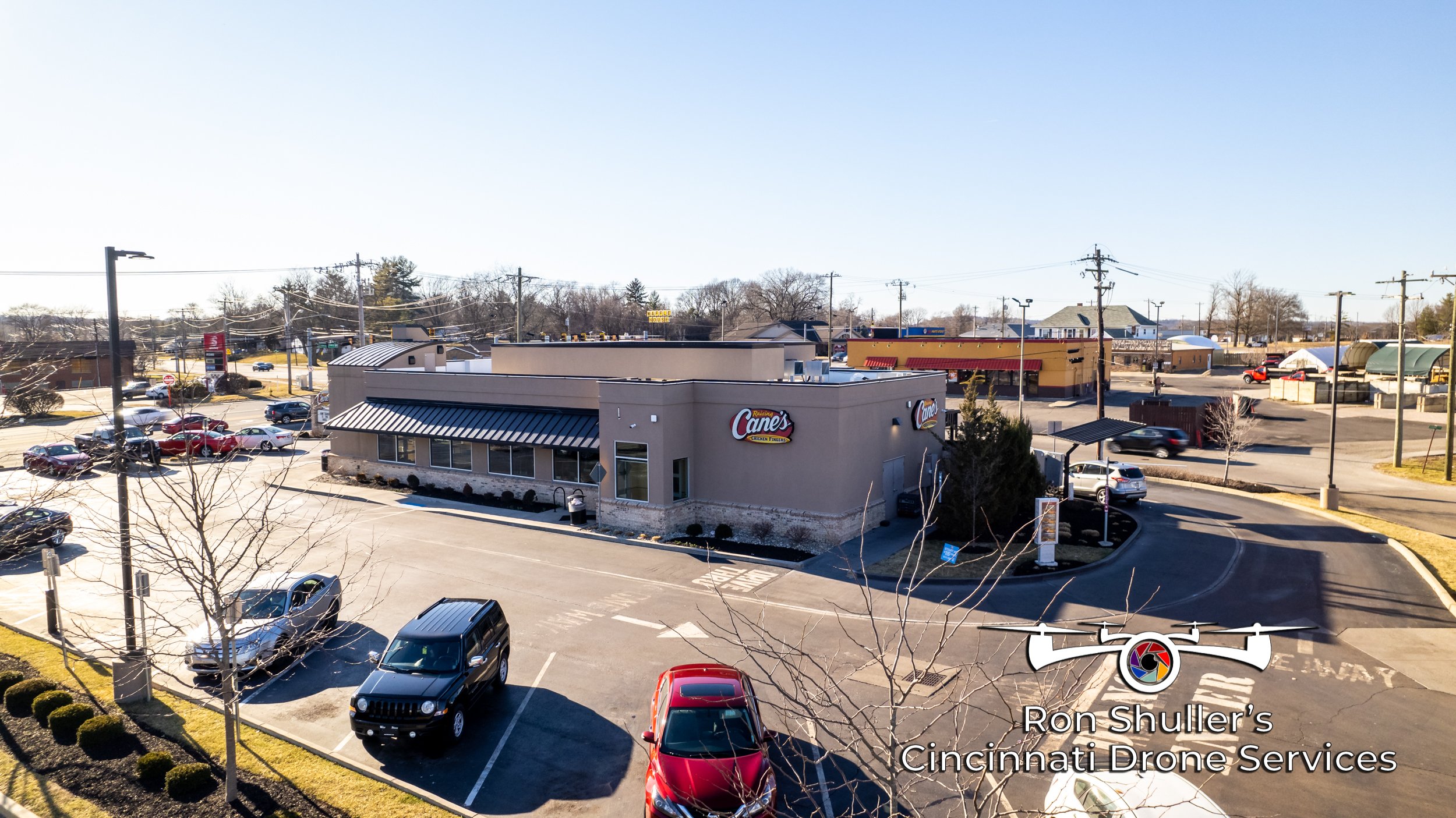
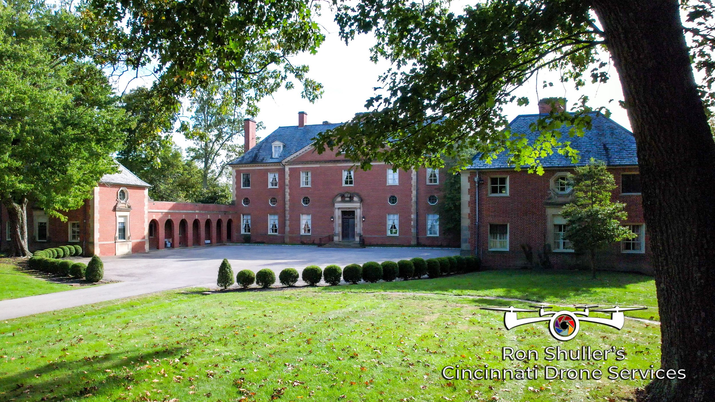
Street Level Perspective
Your building is showcased primarily, with minimal visibility of parking areas, and depending on the building's height, the roof may not be prominently featured.

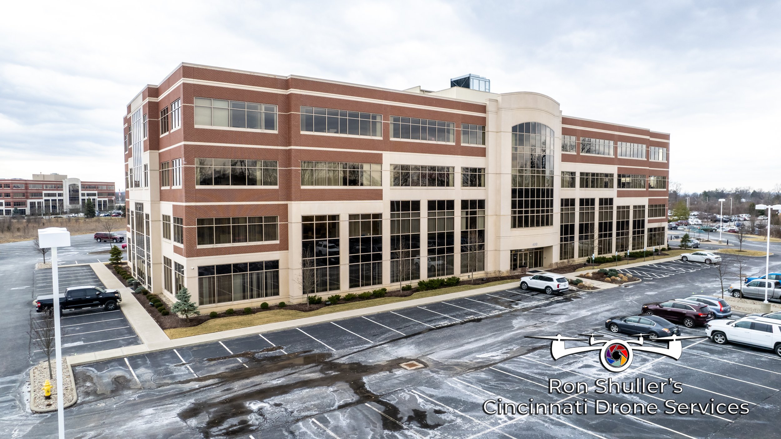
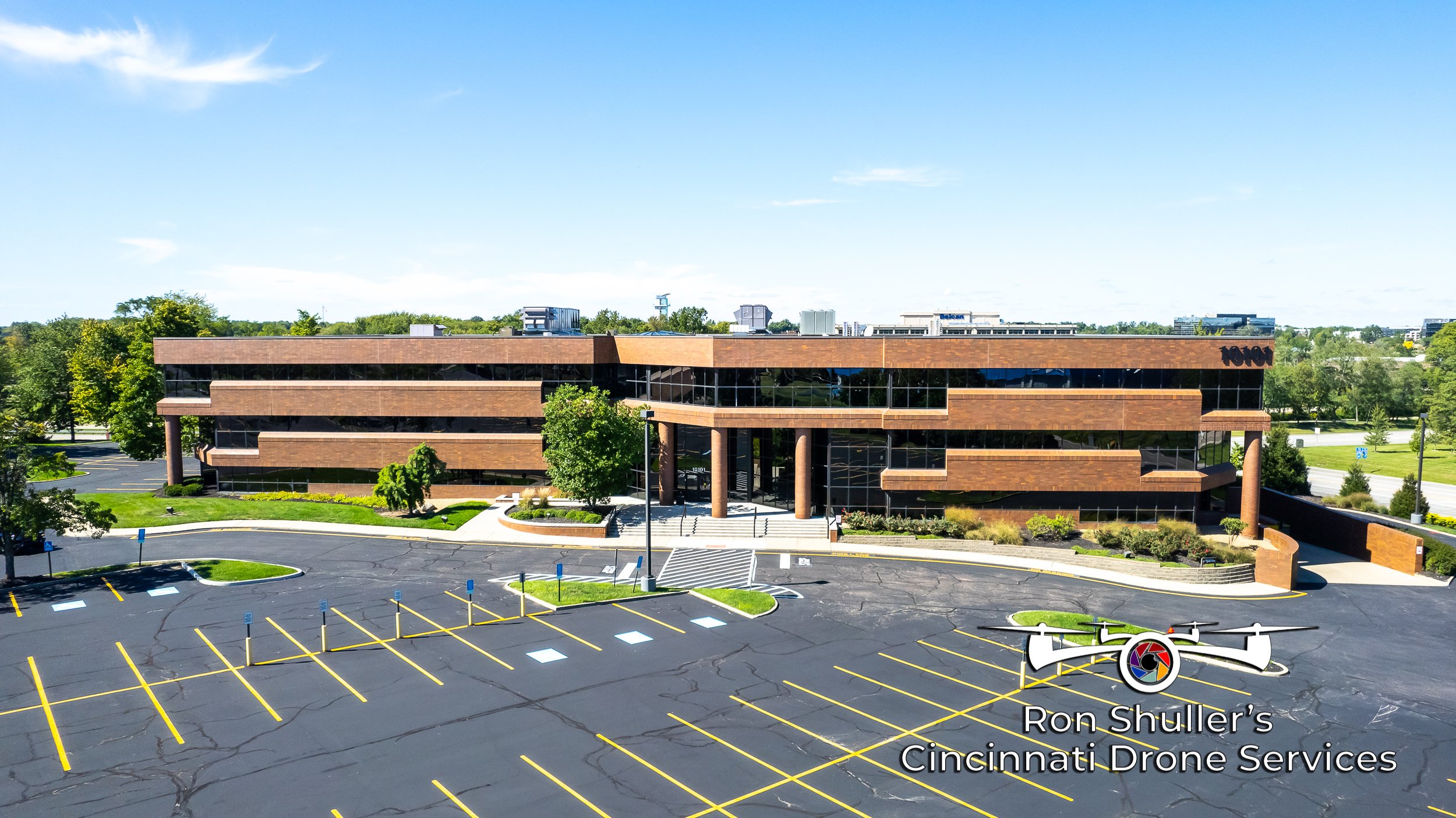
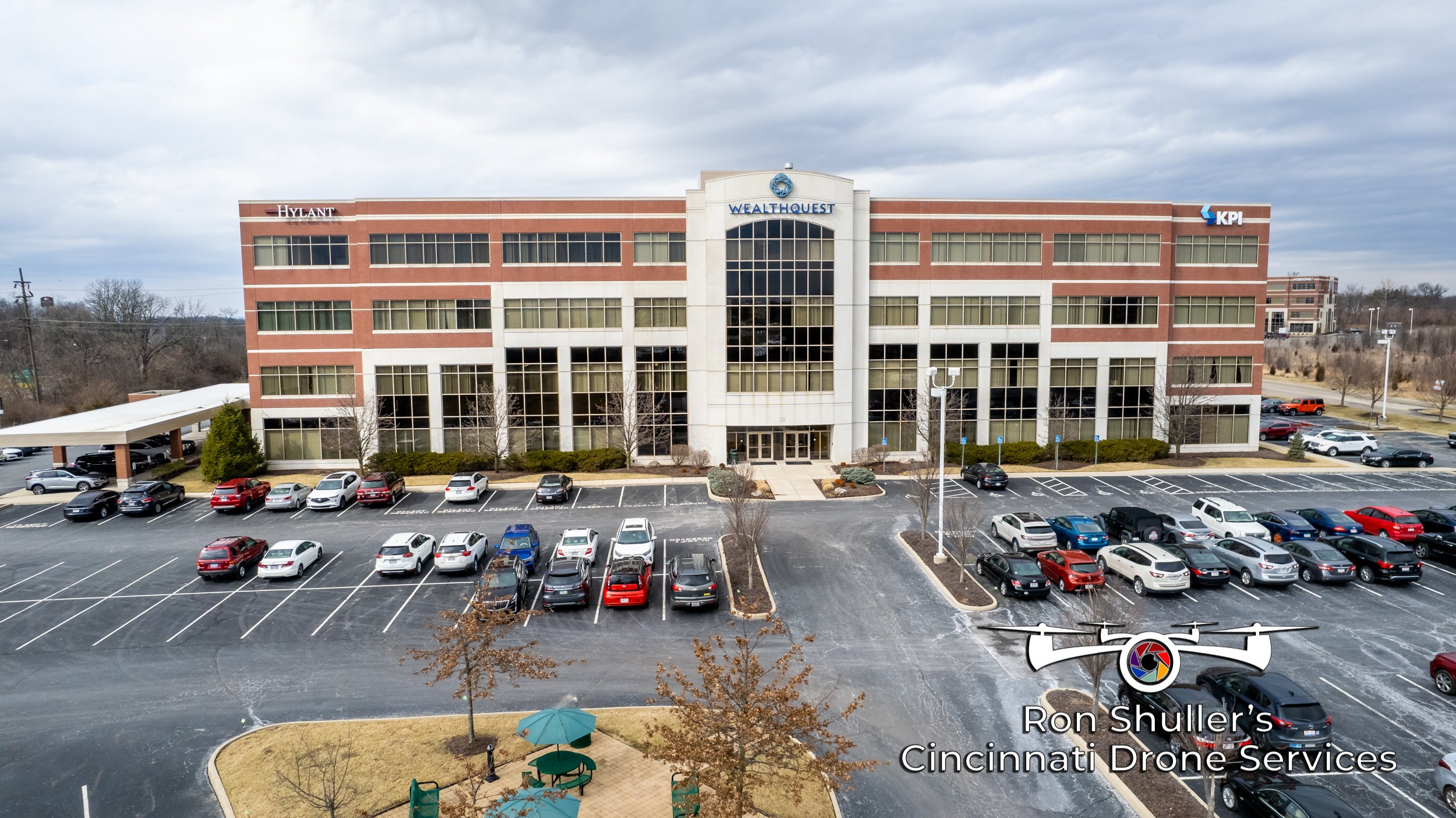
Property Overview Perspective
Parking areas and property boundaries are comprehensively included in the imagery. Utilizing altitudes of up to approximately 150 feet, the images captured distinctly display the tops of buildings.
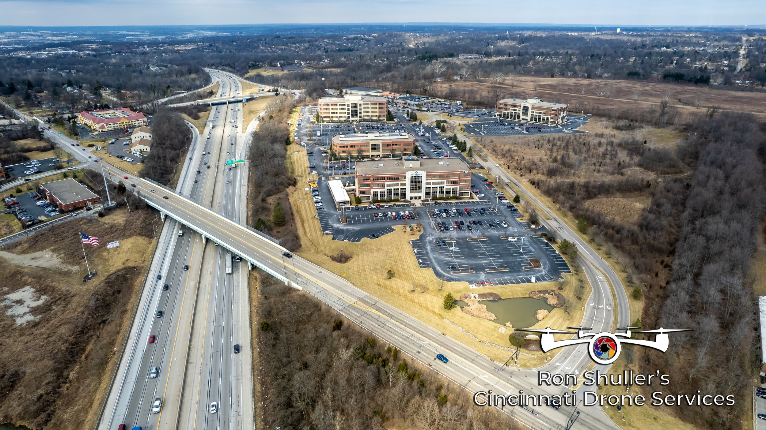
Neighborhood Context Perspective
By employing altitudes up to 400 feet, we utilize wide-angle perspectives to feature your property in context with the neighborhood. This approach highlights surrounding properties, landmarks, topography, and access roads, providing a comprehensive view of your property's location and its relation to the surrounding area.
Footprint Perspective
A top-down view is utilized, usually showing the entire property footprint.

Note . . .
For real estate aerial photography, a blend of views from varying altitudes, ranging from near street level to as high as 400 feet, is often necessary. When capturing properties from a street-level perspective, we typically position our cameras at heights between 10 to 20 feet, just above the actual street level. This modest elevation shift focuses the attention more on the buildings themselves, rather than on parking areas or parked cars, thereby reducing distractions. Additionally, this height is optimal for achieving the correct perspective, ensuring the property is presented in the most favorable light.